Darien, GA — Weather, Tides, Traffic, Gas Prices & Local Events
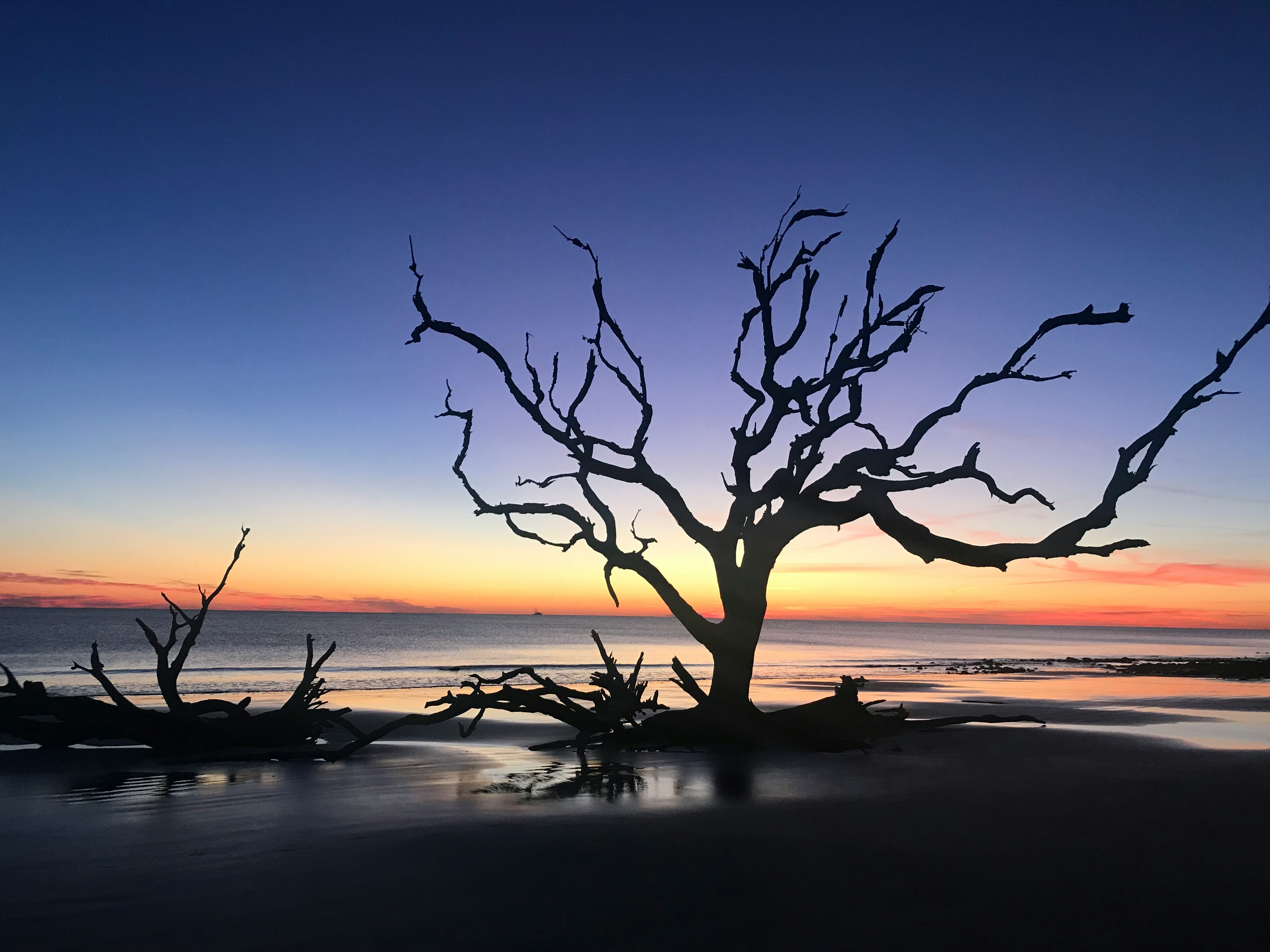
Darien is one of Georgia's oldest and smallest coastal towns — a historic shrimping village on the Altamaha River, about halfway between Brunswick and Savannah just off I-95. Founded by Scottish Highlanders in 1736, it sits at the edge of the Altamaha River delta, one of the largest and least-developed river estuaries on the East Coast, where the shrimp fleet still ties up along the waterfront beneath the live oaks. It's a quiet, deeply tidal place: the river and the surrounding marshes rise and fall several feet twice a day, governing the shrimping, the boating, and the rhythm of a working waterfront that has changed little in generations.more
Welcome to CityTides
🌧️ Rain Radar
Past 2 hours
Set a location to see local rain radar.
Radar RainViewer · Map CARTO / OSM
Tide Forecast
Search a location to check for nearby NOAA tide stations.
Explore the Georgia Coast
Tap a place for its local guide
- 📍SavannahHistoric squares & riverfront→
- 📍Tybee IslandSavannah's beach→
- 📍DarienShrimping town, Altamaha delta→
- 📍BrunswickGateway to the Golden Isles→
- 📍St. Simons IslandBeaches & the lighthouse→
- 📍Jekyll IslandDriftwood Beach, bike trails→
- 📍St. MarysGateway to Cumberland Island→
Today's Snapshot
Darien, GA · tap a row for details
Outdoor & Coastal
Hunting & Solunar
Georgia
1 season open now (approx.)
📋 Season Guide — general windows
Feral Hog
In seasonYear-round on private land
Small Game
Squirrel from mid-Aug; rabbit & quail Nov → late Feb
White-tailed Deer
Mid-Sept → mid-Jan · archery → primitive → firearms
County zones & either-sex days vary.
Show all 6 seasonsShow fewer seasons
Dove
Early Sept → mid-Jan · split seasons
Waterfowl (Duck)
Late Nov → late Jan · early teal in Sept
Spring Turkey
Late March → mid-May
⚠️ General 2025–26 baseline windows — not legal dates. Lower 48 states only.
Seasons are set per zone & method and change every year. Always confirm current, binding dates, bag limits, and licenses with the official agency before you hunt.
Georgia DNR – Wildlife Resources Division →Season data last verified: May 2026.
Local News
Latest Headlines
Recent news near Darien, GA
Search a location above
Local news will appear after a location is selected.
Rainfall & Drought
Monthly Precipitation
Last 12 months of rainfall near Darien, GA
Search a location above
Rainfall data will appear after a location is selected.
Darien, GA is just getting started
Free to post — be one of the first to list an item, service, or community notice.
Get a daily your city snapshot
Today's weather, tides, local news & more — emailed each morning. Free, one tap to unsubscribe.
We email a confirmation first (double opt-in). Your address is used only for this digest and never shared. This is an informational summary, not an official emergency alert.
Advertise on CityTides
Reach locals in your city with a featured listing or sponsored post.
Get Featured →More about Darien — local guide, FAQ & directions
Getting to Darien
Darien sits right off I-95 at Exit 49, with US-17 running through town and across the river on the causeway — the old coastal highway route between Brunswick and Savannah. That makes it an easy stop off the interstate, and the bridges over the Altamaha and its side channels offer some of the best marsh-and-river views on the Georgia coast.
The town itself is tiny and walkable, centered on the waterfront where the shrimp boats dock and a few blocks of historic buildings, restaurants, and shops sit under the oaks. It's an easy place to park and wander, and a natural break point on a coastal drive.
The shrimping waterfront
Darien is one of Georgia's last true working shrimping towns. The fleet ties up right along the Darien River waterfront downtown, and the docks, ice houses, and seafood markets there are part of a living industry, not a re-creation. Buying shrimp fresh off the boats, or eating it a few feet from where it was landed, is the signature Darien experience.
The town celebrates that heritage every spring with the Blessing of the Fleet, a decades-old festival where the shrimp boats are decorated and blessed for a safe and bountiful season — one of the coast's most distinctive local traditions, drawing crowds to the small waterfront.
The Altamaha River and the delta
Darien sits at the mouth of the Altamaha, one of the largest free-flowing rivers on the East Coast and the heart of a vast, largely undeveloped delta of marsh, creeks, and islands that conservationists call one of the most important natural areas in the Southeast. The river drains a huge swath of Georgia and empties into the sounds here, and the resulting maze of tidal creeks is a paddler's, angler's, and birder's landscape.
That delta is the reason the tide matters so much in Darien: the water level shapes where you can launch, paddle, and fish, and the marsh transforms completely between high and low tide. Outfitters run kayak and boat trips out into the delta, and the whole area is prized for its wildness so close to the interstate.
History under the live oaks
Founded in 1736 by Scottish Highlanders recruited by James Oglethorpe to help defend the colony's southern frontier, Darien is one of Georgia's oldest towns and wears its history openly. The ruins and tabby remnants around town, the old churches, and nearby Fort King George — the reconstructed early-1700s British outpost that was the first English settlement on what's now the Georgia coast — tell the story of the contested colonial frontier.
Just outside town, the Butler Island and Hofwyl-Broadfield sites preserve the history of the rice plantations that once worked the Altamaha delta, including the enslaved people whose labor built them — a sobering, essential part of the region's past now interpreted for visitors. For its size, Darien holds an outsized amount of Georgia history.
Tides, weather, and the quiet season
Everything in Darien runs on the tide. The Altamaha and its delta swing several feet between high and low water, governing the shrimp fleet, the boat ramps, the paddling, and the fishing — so the tide chart isn't a curiosity here, it's the working schedule of the town. The marsh views from the waterfront and the US-17 causeway change entirely with the water.
The climate is the coast's humid subtropical mix: hot, humid summers with afternoon thunderstorms, mild winters that rarely freeze, and a hurricane season from June through November worth watching. Darien stays quiet year-round compared with the beach destinations — its draws are the working waterfront, the river, and the history rather than crowds — with spring (and the Blessing of the Fleet) and fall the most pleasant times to visit.
Darien: Frequently Asked Questions
What can I check on CityTides for Darien, GA?
Weather and alerts, tide times, traffic on I-95 and US-17, gas prices, dining (including fresh local shrimp), events, real estate, and a local Buy & Sell board for the Darien and McIntosh County area.
Does CityTides show tide times for Darien?
Yes — and few places are more tide-driven. The Altamaha River and its delta swing several feet with the tide, shaping the shrimping, boating, paddling, and fishing, so CityTides shows the day's highs and lows.
What is Darien, GA known for?
A historic working shrimping waterfront on the Altamaha River, the spring Blessing of the Fleet, access to the wild Altamaha delta, and deep colonial history as one of Georgia's oldest towns — all just off I-95 between Brunswick and Savannah.
Nearby: Brunswick, GA · Savannah, GA · All Georgia cities