
St. Simons Island, GA — Weather, Tides, Traffic, Gas Prices & Local Events
St. Simons Island is the largest of Georgia's Golden Isles — a barrier island reached from Brunswick by the F. J. Torras Causeway, about four miles across the Marshes of Glynn. It's where the beaches, the 1872 lighthouse, and Pier Village are, and where day-trippers, vacationers, and a year-round island community all share the same handful of roads. Out here the tide governs the day — the sand at East Beach and Massengale, fishing off the pier, the boat ramps — and a holiday backup on the causeway turns a quick mainland run into an hour in the car. Anchored by Oglethorpe's 1736 Fort Frederica and shaded by live oaks, the island wears its history easily.more
Welcome to CityTides
🌧️ Rain Radar
Past 2 hours
Set a location to see local rain radar.
Radar RainViewer · Map CARTO / OSM
Tide Forecast
Search a location to check for nearby NOAA tide stations.
Explore the Georgia Coast
Tap a place for its local guide
- 📍SavannahHistoric squares & riverfront→
- 📍Tybee IslandSavannah's beach→
- 📍DarienShrimping town, Altamaha delta→
- 📍BrunswickGateway to the Golden Isles→
- 📍St. Simons IslandBeaches & the lighthouse→
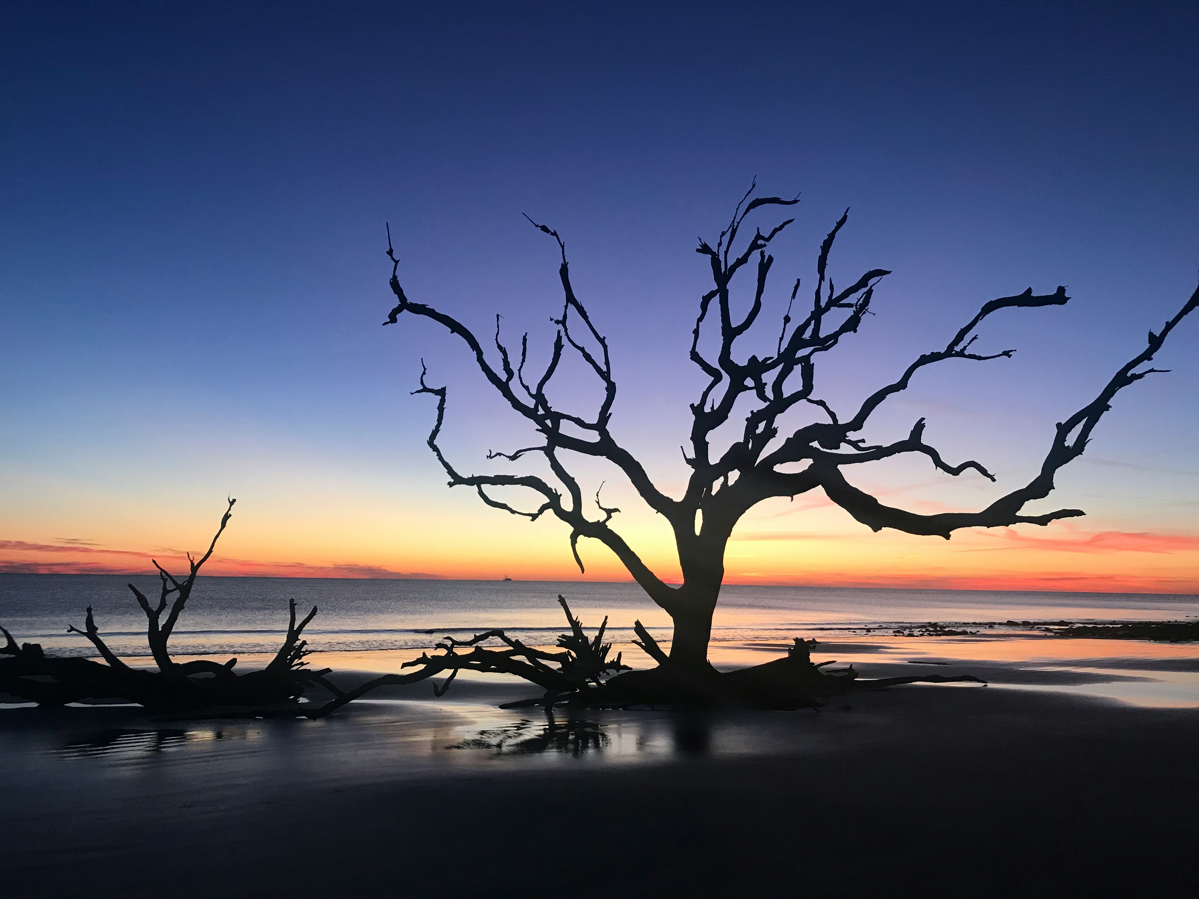
- 📍Jekyll IslandDriftwood Beach, bike trails→
- 📍St. MarysGateway to Cumberland Island→
Today's Snapshot
St. Simons Island, GA · tap a row for details
Outdoor & Coastal
Hunting & Solunar
Georgia
4 seasons open now (approx.)

📋 Season Guide — general windows
Feral Hog
In seasonYear-round on private land
Small Game
In seasonSquirrel from mid-Aug; rabbit & quail Nov → late Feb
White-tailed Deer
In seasonMid-Sept → mid-Jan · archery → primitive → firearms
County zones & either-sex days vary.
Dove
In seasonEarly Sept → mid-Jan · split seasons
Show all 6 seasonsShow fewer seasons
Waterfowl (Duck)
Late Nov → late Jan · early teal in Sept
Spring Turkey
Late March → mid-May
⚠️ General 2025–26 baseline windows — not legal dates. Lower 48 states only.
Seasons are set per zone & method and change every year. Always confirm current, binding dates, bag limits, and licenses with the official agency before you hunt.
Georgia DNR – Wildlife Resources Division →Season data last verified: May 2026.
Local News
Latest Headlines
Recent news near St. Simons Island, GA
Search a location above
Local news will appear after a location is selected.
Rainfall & Drought
Monthly Precipitation
Last 12 months of rainfall near St. Simons Island, GA

Search a location above
Rainfall data will appear after a location is selected.


St. Simons Island, GA is just getting started
Free to post — be one of the first to list an item, service, or community notice.
Get a daily your city snapshot
Today's weather, tides, local news & more — emailed each morning. Free, one tap to unsubscribe.
We email a confirmation first (double opt-in). Your address is used only for this digest and never shared. This is an informational summary, not an official emergency alert.
Advertise on CityTides
Reach locals in your city with a featured listing or sponsored post.
Get Featured →More about St. Simons Island — local guide, FAQ & directions
Getting to and around St. Simons
There is one way on and off the island by car: the F. J. Torras Causeway from Brunswick, about four miles over the Marshes of Glynn. That single road is the whole story of island traffic — on summer weekends, holidays, and after big events it backs up in both directions, so a run to the mainland for groceries or the airport is worth timing around the crowds.
Once you're on, the island runs on a handful of roads: Frederica Road up the spine, Demere Road and Sea Island Road across, Kings Way and Ocean Boulevard down by the water, and Mallery Street through Pier Village. Parking near the pier and East Beach fills early on a hot, clear day, so the earlier you come the easier the day goes.
The beaches and the tide
St. Simons is a tide island as much as a beach island. At low tide East Beach — the main public stretch off Massengale Park — opens into a wide, hard-packed flat you can walk for a long way; at high tide that same beach shrinks back toward the dunes. Timing the water is the difference between a great beach day and a narrow strip of sand, which is why locals check the tide before they pack the car.
At the north end, Gould's Inlet is a favorite for shelling and birding where the beach meets the sound, but the currents there are strong and it isn't a swimming spot — a good reminder of why knowing the tide and the water matters here.
Pier Village and island life
The heart of the island is Pier Village at the south end: the fishing pier, Neptune Park with its small pool and playground, and the 1872 lighthouse still standing watch with a museum at its base. The blocks around Mallery Street hold the island's walkable cluster of restaurants, shops, and ice cream stops, busiest on summer evenings when day-trippers and vacationers spill out after the beach.
Beyond the village, St. Simons is largely residential and green — golf, live-oak streets, and quiet upscale neighborhoods that share the island with the resorts. Neighboring Sea Island, reached through St. Simons, is a separate and famously exclusive resort.
History in the live oaks
St. Simons carries more history than its beaches let on. Fort Frederica, built by James Oglethorpe in 1736, anchored Britain's southern frontier, and the nearby Battle of Bloody Marsh in 1742 turned back a Spanish advance — both preserved today as a national monument among the oaks and marsh. Christ Church, Frederica, one of Georgia's oldest churches, sits in a grove of live oaks nearby.
Those same oaks hold the island's quirk: the Tree Spirits, faces carved into the trunks of old live oaks around the island, and the cathedral-like Avenue of the Oaks leading into the Sea Island Golf Club on the grounds of a former plantation.
Weather and the seasons
The island shares the coast's humid subtropical climate: hot, humid summers with afternoon thunderstorms blowing in off the Atlantic, and mild winters that rarely freeze. Hurricane season runs June through November, and because the island is reached by a single causeway, locals pay close attention to the tropics when a storm is out in the Atlantic.
Its rhythm follows the calendar as much as the weather. The island fills up from Memorial Day through Labor Day and around holidays, then settles into a quieter, easier pace in fall and spring — which many regulars consider the best time to be here.
St. Simons Island: Frequently Asked Questions
What can I check on CityTides for St. Simons Island, GA?
Weather and alerts, tide times, traffic on the F. J. Torras Causeway, gas prices, dining, events, vacation rentals and real estate, and a local Buy & Sell board for the island and the Golden Isles.
Does CityTides show tide times for St. Simons Island?
Yes — tides matter here for the beaches, fishing off the pier, and the boat ramps, so CityTides shows the day's highs and lows for the St. Simons area.
How do you get to St. Simons Island?
From Brunswick on the mainland, across the F. J. Torras Causeway — about four miles over the Marshes of Glynn. CityTides shows current traffic on that route.
Nearby: Brunswick, GA · Jekyll Island, GA · All Georgia cities