Outer Banks, NC — Weather, Tides, Traffic, Gas Prices & Local Events
The Outer Banks — the OBX — are a thin, 200-mile chain of barrier islands arcing off the North Carolina coast, separating the Atlantic from the sounds behind them. A string of beach towns runs from Corolla and Duck down through Kitty Hawk, Kill Devil Hills, and Nags Head to wild Hatteras and Ocracoke islands, tied together by NC-12 and famous for the Wright brothers' first flight, towering lighthouses, wild horses, and some of the best fishing and surf on the East Coast. Tides and weather run everything here: the beaches, the surf and sound, the fishing, and the ever-present watch on storms that can wash over the islands.more
Welcome to CityTides
🌧️ Rain Radar
Past 2 hours
Set a location to see local rain radar.
Radar RainViewer · Map CARTO / OSM
Tide Forecast
Search a location to check for nearby NOAA tide stations.
Explore the Georgia Coast
Tap a place for its local guide
- 📍SavannahHistoric squares & riverfront→
- 📍Tybee IslandSavannah's beach→
- 📍DarienShrimping town, Altamaha delta→
- 📍BrunswickGateway to the Golden Isles→
- 📍St. Simons IslandBeaches & the lighthouse→
- 📍Jekyll IslandDriftwood Beach, bike trails→
- 📍St. MarysGateway to Cumberland Island→
Today's Snapshot
Nags Head, NC · tap a row for details
Outdoor & Coastal
Hunting & Solunar
North Carolina
1 season open now (approx.)
📋 Season Guide — general windows
Feral Hog
In seasonYear-round on private land
White-tailed Deer
Sept → Jan · coastal areas open earliest
Gun dates vary by district/season.
Dove
Early Sept → mid-Jan · split seasons
Show all 6 seasonsShow fewer seasons
Small Game
Squirrel & rabbit Oct → late Feb
Waterfowl (Duck)
Late Nov → late Jan
Spring Turkey
April → early May
⚠️ General 2025–26 baseline windows — not legal dates. Lower 48 states only.
Seasons are set per zone & method and change every year. Always confirm current, binding dates, bag limits, and licenses with the official agency before you hunt.
NC Wildlife Resources Commission →Season data last verified: May 2026.
Local News
Latest Headlines
Recent news near Nags Head, NC
Search a location above
Local news will appear after a location is selected.
Rainfall & Drought
Monthly Precipitation
Last 12 months of rainfall near Nags Head, NC
Search a location above
Rainfall data will appear after a location is selected.
Nags Head, NC is just getting started
Free to post — be one of the first to list an item, service, or community notice.
Get a daily your city snapshot
Today's weather, tides, local news & more — emailed each morning. Free, one tap to unsubscribe.
We email a confirmation first (double opt-in). Your address is used only for this digest and never shared. This is an informational summary, not an official emergency alert.
Advertise on CityTides
Reach locals in your city with a featured listing or sponsored post.
Get Featured →More about Outer Banks — local guide, FAQ & directions
Getting to the Outer Banks and around
Most visitors reach the northern Outer Banks across the Wright Memorial Bridge on US-158, or via US-64 through Manteo and Roanoke Island, landing in the Kitty Hawk-Kill Devil Hills-Nags Head core. From there NC-12 is the lifeline, running the length of the islands north toward Corolla and south down Hatteras Island to the village of Hatteras.
The far ends take more effort: Corolla's 4x4 beach area runs beyond the paved road, and Ocracoke Island is reached only by ferry. NC-12 is famously vulnerable — it floods and washes out in storms — so checking conditions, the weather, and the ferries is part of any OBX trip.
The beaches and the tide
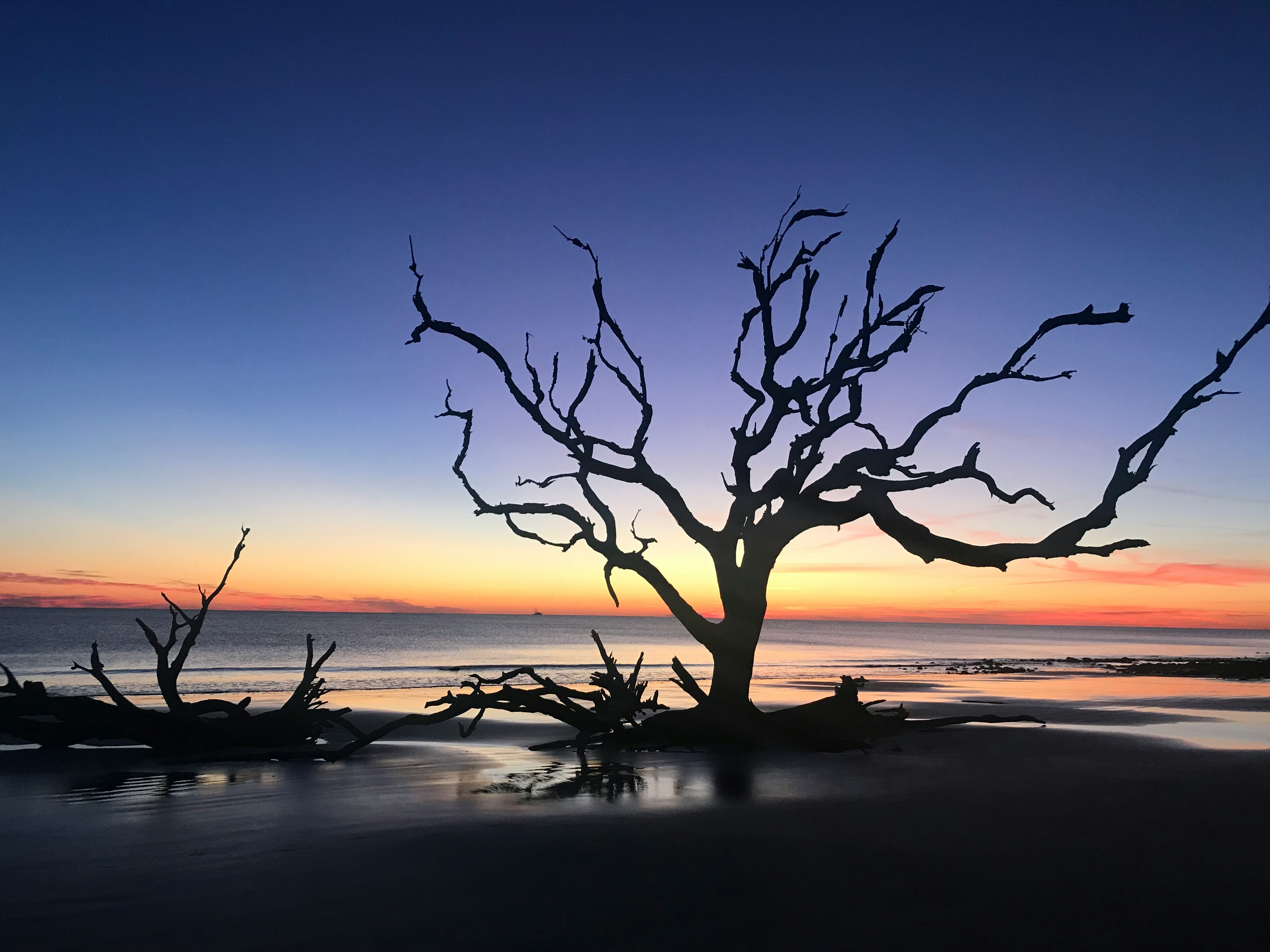
The Outer Banks are all about the Atlantic beach, and like the rest of the coast the sand is a tide story — broad and firm at low water, narrower at high. The ocean side is for swimming, surfing, and surf fishing; the sound side behind the islands is shallow, warm, and a hotspot for kiteboarding and windsurfing.
Because the islands are narrow and exposed, the tide and the weather matter more here than almost anywhere: rip currents, overwash on NC-12, and shifting inlets all key off the water. Checking the day's highs and lows is genuinely part of planning the beach, the fishing, or a paddle on the sound.
First flight, lighthouses, and history
The Outer Banks hold an outsized share of American history. The Wright Brothers National Memorial at Kill Devil Hills marks where the first powered airplane flight took place in 1903, atop the dune the brothers used for their gliders. To the south, the black-and-white spiral Cape Hatteras Lighthouse — the tallest brick lighthouse in the country — anchors Cape Hatteras National Seashore, the first national seashore in the U.S.
On Roanoke Island, Fort Raleigh preserves the site of the Lost Colony, England's first attempt at a New World settlement, whose disappearance is still a mystery. Bodie Island and Currituck Beach lighthouses round out a coast dotted with beacons.
Wild horses, dunes, and the outdoors
The northern beaches beyond Corolla are home to the famous wild Banker horses — descendants of Spanish mustangs — that roam the dunes and sand, reached only by 4x4. At Nags Head, Jockey's Ridge State Park protects the tallest active sand dune system on the East Coast, a magnet for hang gliding, kite flying, and sunset views over the sound.
Beyond that, the OBX is a paradise for anglers (surf, pier, and Gulf Stream charter fishing), surfers, and paddlers, with the Pea Island National Wildlife Refuge and miles of undeveloped national seashore for birding and solitude.
Best beaches and towns along the OBX
Each town has its own feel: Corolla and Duck to the north are upscale and quieter; Kitty Hawk, Kill Devil Hills, and Nags Head form the busy, services-packed core with the piers, restaurants, and most rentals. Down Hatteras Island, villages like Rodanthe, Avon, Buxton, and Hatteras are quieter, wilder, and beloved by anglers and surfers.
Ocracoke, reached only by ferry, is the most remote and unspoiled, with a tiny historic village and famously empty beaches. Whatever stretch you choose, it's all classic open-Atlantic barrier-island beach, fronted by the longest run of protected national seashore on the coast.
Weather, storms, and the seasons
The Outer Banks have a milder, breezier version of the coast's humid subtropical climate, moderated by the surrounding water: warm summers, mild winters, and near-constant wind. The flip side is exposure — hurricane season (June through November) and winter nor'easters both threaten the low, narrow islands, with overwash, flooding, and NC-12 closures a recurring reality.
Summer is peak season, packed from Memorial Day through Labor Day; spring and fall are milder, cheaper, and favorites of anglers and surfers; and winter is quiet and stark. Because conditions can change fast on exposed islands, locals and visitors watch the weather and the tides closely year-round.
Outer Banks: Frequently Asked Questions
What can I check on CityTides for the Outer Banks, NC?
Weather and alerts, tide times, traffic and NC-12 conditions, gas prices, dining, events, vacation rentals and real estate, and a local Buy & Sell board for the Outer Banks area.
Does CityTides show tide times for the Outer Banks?
Yes. The OBX is exposed open-Atlantic coast with real tides, so the beaches, the surf and sound, and the fishing all run on the cycle — CityTides shows the day's highs and lows, anchored at Nags Head.
Is the Outer Banks one town?
No — it's a 200-mile chain of barrier-island communities, including Corolla, Duck, Kitty Hawk, Kill Devil Hills, Nags Head, the Hatteras Island villages, and Ocracoke. CityTides covers the area as a whole, anchored at Nags Head in the core.
Nearby: Wilmington, NC · All North Carolina cities