Jacksonville Beaches, FL — Weather, Tides, Traffic, Gas Prices & Local Events
The Jacksonville Beaches are the Atlantic beach towns just east of Jacksonville — Jacksonville Beach, Neptune Beach, and Atlantic Beach — strung along the ocean where the First Coast meets the sea. Locally just "the Beaches," they trade the big city's sprawl for a laid-back surf-town feel: a fishing pier, the walkable Beaches Town Center where Neptune and Atlantic meet, miles of wide flat sand, and one of the better surf scenes on the Florida Atlantic. The tide runs the day here — the beach is broad and hard-packed at low water and pulls back toward the dunes at high — so the swimming, the pier fishing, and the surf all key off the cycle.more
Welcome to CityTides
🌧️ Rain Radar
Past 2 hours
Set a location to see local rain radar.
Radar RainViewer · Map CARTO / OSM
Tide Forecast
Search a location to check for nearby NOAA tide stations.
Explore the Georgia Coast
Tap a place for its local guide
- 📍SavannahHistoric squares & riverfront→
- 📍Tybee IslandSavannah's beach→
- 📍DarienShrimping town, Altamaha delta→
- 📍BrunswickGateway to the Golden Isles→
- 📍St. Simons IslandBeaches & the lighthouse→
- 📍Jekyll IslandDriftwood Beach, bike trails→
- 📍St. MarysGateway to Cumberland Island→
Today's Snapshot
Jacksonville Beach, FL · tap a row for details
Outdoor & Coastal
Hunting & Solunar
Florida
1 season open now (approx.)
📋 Season Guide — general windows
Feral Hog
In seasonYear-round on private land
White-tailed Deer
Aug → Feb · varies sharply by zone
FL splits into zones A/B/C/D with very different dates — check the FWC zone map.
Dove
Late Sept → mid-Jan · split seasons
Show all 6 seasonsShow fewer seasons
Waterfowl (Duck)
Nov → late Jan · early teal in Sept
Small Game
Squirrel & quail Nov → early March
Spring Turkey
Early March → April · Osceola; south of SR-70 opens first
⚠️ General 2025–26 baseline windows — not legal dates. Lower 48 states only.
Seasons are set per zone & method and change every year. Always confirm current, binding dates, bag limits, and licenses with the official agency before you hunt.
Florida FWC →Season data last verified: May 2026.
Local News
Latest Headlines
Recent news near Jacksonville Beach, FL
Search a location above
Local news will appear after a location is selected.
Rainfall & Drought
Monthly Precipitation
Last 12 months of rainfall near Jacksonville Beach, FL
Search a location above
Rainfall data will appear after a location is selected.
Jacksonville Beach, FL is just getting started
Free to post — be one of the first to list an item, service, or community notice.
Get a daily your city snapshot
Today's weather, tides, local news & more — emailed each morning. Free, one tap to unsubscribe.
We email a confirmation first (double opt-in). Your address is used only for this digest and never shared. This is an informational summary, not an official emergency alert.
Advertise on CityTides
Reach locals in your city with a featured listing or sponsored post.
Get Featured →More about Jacksonville Beaches — local guide, FAQ & directions
Getting to the Beaches
The Beaches sit about a 30-to-40-minute drive east of downtown Jacksonville, reached on Beach Boulevard (US-90), Atlantic Boulevard, or the J. Turner Butler Boulevard (SR-202). A1A runs the shoreline north to south, linking Atlantic, Neptune, and Jacksonville Beaches and continuing toward Ponte Vedra to the south.
At the north end, the St. Johns River Ferry (the Mayport ferry) carries A1A across the river mouth toward Fort George Island and the route up to Amelia Island — a scenic shortcut that skips the drive back through the city. The beach towns themselves are flat, gridded, and easy to get around once you're there.
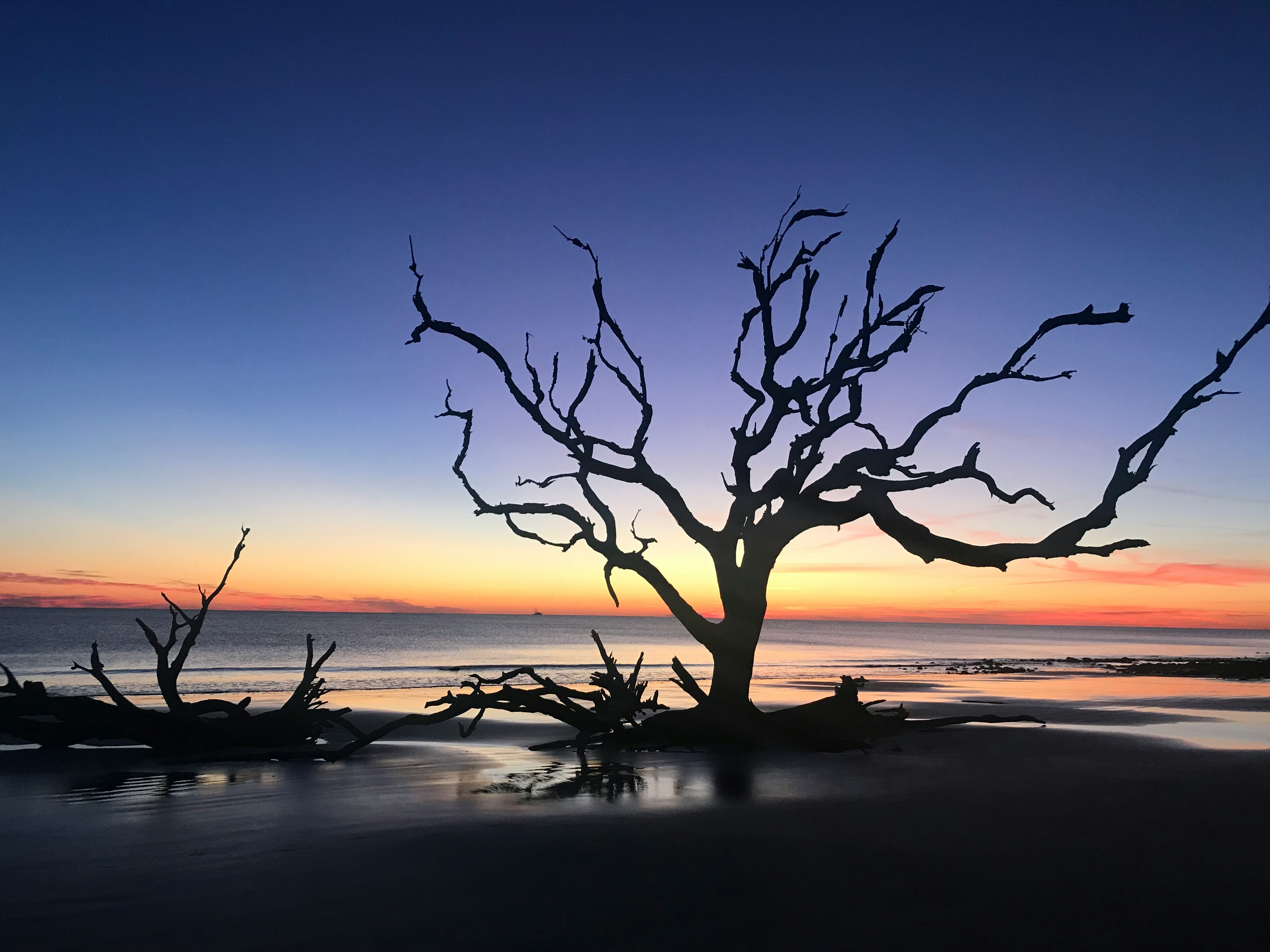
The beaches and the tide
The three beach towns share one long, wide Atlantic strand, but each has its own feel: Jacksonville Beach is the busiest and most built-up, with the pier, the most parking, and the events; Neptune Beach and Atlantic Beach to the north are quieter and more residential. The sand is broad and firm at low tide and narrows toward the dunes at high, so the tide chart is the first thing locals check before a beach day.
Because this is open Atlantic coast, the tide swing is real and semidiurnal — two highs and two lows a day — which matters for swimming conditions, shore fishing, and the surf. The day's highs and lows shape how much beach there is and when the best window for the water falls.
The pier, Beaches Town Center, and local life
The Jacksonville Beach Pier anchors the south end's beachfront, alongside the Seawalk Pavilion that hosts concerts, festivals, and the farmers market. A few blocks of restaurants, bars, and surf shops run back from the sand, busiest on summer evenings when the beach empties out into dinner and live music.
Where Neptune and Atlantic Beaches meet, the Beaches Town Center is the other hub — a walkable, low-key cluster of well-regarded restaurants, coffee shops, and bars a block from the ocean. Together they give the Beaches a genuine year-round town life beyond the tourist season.
Surfing and the outdoors
The Jacksonville Beaches are one of the better surf spots on Florida's Atlantic coast, with a real local surf culture, board shops, and a beach break that works on the right swell. The pier and the jetties draw anglers, and the long flat sand is made for running, biking, and beach cruising.
Just north, Kathryn Abbey Hanna Park is a standout — a city park with its own stretch of beach, dunes, a freshwater lake for paddling and swimming, campsites, and a popular network of mountain-bike trails through the maritime forest. It's a quick escape from the developed beachfront into something wilder.
Best beaches near the Jacksonville Beaches
Right at hand, Jacksonville Beach is the lively core, with Neptune and Atlantic Beaches quieter just to the north. Hanna Park adds a more natural beach-and-forest option at the north end near Mayport. Across the river ferry and up the coast lie the wild Talbot Islands and, beyond them, Amelia Island.
To the south, A1A runs into Ponte Vedra Beach — upscale and quieter — and the Guana Tolomato Matanzas reserve's undeveloped shoreline, then on toward St. Augustine. It makes the Beaches a good base for exploring the whole First Coast in either direction.
Weather and the seasons
The Beaches share the First Coast's humid subtropical climate: hot, humid summers with afternoon thunderstorms blowing in off the Atlantic, and mild winters that only occasionally dip toward freezing. Hurricane season runs June through November, and beachfront communities here watch the tropics closely in late summer and early fall.
Summer and spring break are the busy stretches; fall and the milder winter months are quieter and, to a lot of regulars, the most pleasant times to have the sand to themselves. Spring and fall are the comfortable shoulder seasons.
Jacksonville Beaches: Frequently Asked Questions
What can I check on CityTides for the Jacksonville Beaches, FL?
Weather and alerts, tide times, traffic on A1A and the routes in from Jacksonville, gas prices, dining, events, vacation rentals and real estate, and a local Buy & Sell board for the Jacksonville Beaches area.
Which towns are the Jacksonville Beaches?
Jacksonville Beach, Neptune Beach, and Atlantic Beach — three adjoining Atlantic beach towns just east of Jacksonville, sharing one long strand, with the Beaches Town Center and the Jacksonville Beach Pier as their hubs.
Does CityTides show tide times for the Jacksonville Beaches?
Yes — this is open Atlantic coast with real semidiurnal tides, so the beach width, the surf, and the pier fishing all run on the cycle. CityTides shows the day's highs and lows for the area.
Nearby: Amelia Island, FL · St. Augustine, FL · Daytona Beach, FL · All Florida cities